


The Country Herald is a community news platform for Kankakee, Iroquois and Will Counties. Covering breaking local news, sports, lifestyle and events.
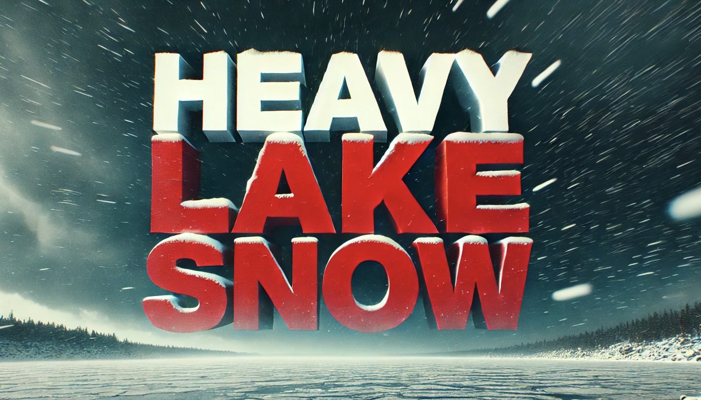
Buffalo, NY – A Winter Storm Watch will remain in effect for parts of Western New York through late Sunday night. Heavy lake-effect snow could cause significant disruption in Wyoming, Chautauqua, Cattaraugus and southern Erie counties.
According to the National Weather Service (NWS), the watch will remain active through Wednesday morning and several heavy snow showers are possible. Travel conditions could be hazardous due to this storm due to deep snowfall and poor visibility. While snowfall amounts may vary depending on band placement, significant accumulations are likely in affected areas.
Residents should be prepared for rapid changes in weather. The NWS warned that conditions could change within miles, transitioning from heavy snowfall to clear skies. Motorists are urged to avoid non-essential travel, as roads may become impassable during extreme snowfall.
To stay safe, stock up on supplies, monitor local weather updates and plan in advance if travel is unavoidable.
This storm could be one of the most severe snowfall events of the season. Make preparations now to minimize possible disruptions and ensure safety until mid-week.
Be sure to follow us on Instagram and like us on Facebook to stay updated on more relevant news and support local independent news!
The post Winter Storm Watch issued for western New York counties: Heavy lake-effect snowfall expected appeared first on Country Herald.


