The Bay Area weather conditions have welcomed back some old friends, and they aren’t expected to go absent anytime again in the near future, according to the National Weather Service.
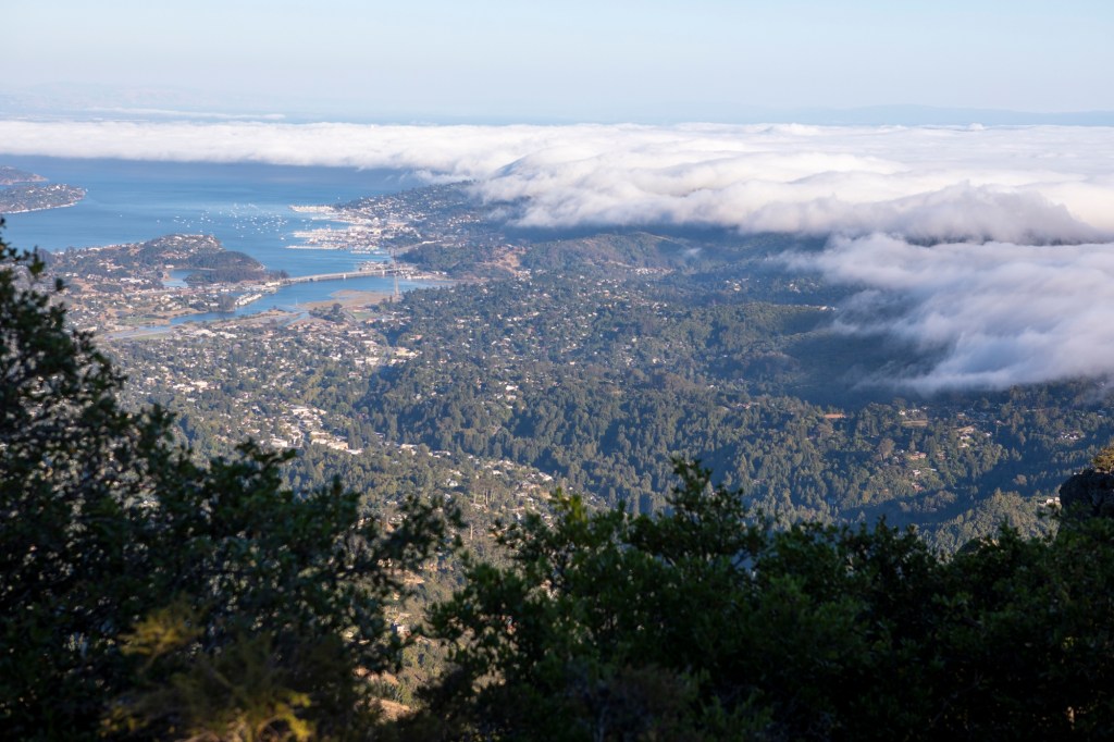
By Wednesday, those friends — coastal fog, the marine layer and overnight temperatures in the 50s — had settled into home again, and an October heat wave that smashed records was finally a memory.
“We’re now in a cooling pattern,” NWS meteorologist Dial Hoang said. “That’s going to continue at least through Friday. Then we see some slight chances of rain, primarily in the North Bay.”
The heat wave — the most intense one to begin October in more than 40 years — melted the region for nearly 10 days.
Credit for the return to cooler weather should be attributed to a low-pressure system developing in the Gulf of Alaska that has wielded enough influence to break down some of the high pressure that created the heat wave, Hoang said. That system continues to gain momentum, he said, and is carrying the threat of the weekend rain.
As for Bay Area temperatures, the hottest spots in the region are expected to rise into the 80s. Most places are expected to see temperatures in the low to high 70s, while cities closer to the coast and bay may not even get that high.
Still, temperatures were expected to remain above their seasonal averages until Friday.
“You’re really seeing the influence from the return of that marine level,” Hoang said. “It’s back over places such as Oakland and some parts of San Jose. It’s back and it’s thick.”
Temperatures by the end of the week aren’t expected to surpass 80 degrees anywhere in the region, save for a possible city or two in the North Bay that may get to 81, according to the weather service.
“It’s definitely going to keep cooling off,” Hoang said.


