


If you thought spring had finally settled in, think again. This week, Salt Lake City is in for a crazy mix of weather—warm sunshine, heavy rain, thunderstorms, snow in the mountains, and even the potential for flooding.
One day, you’ll be grabbing a raincoat. The next, you might need winter boots. And if you’re traveling in the mountains, expect full-on winter conditions.
If you don’t normally check the weather, this is the week to start paying attention.
Monday & Tuesday: The Quiet Before the Storm
The first part of the week will be relatively calm. In fact, it might even feel nice out—but don’t get too comfortable.
-
Monday will be mostly cloudy with a high of 55 degrees. A few sprinkles could show up in the evening, but nothing major.
-
Overnight, temperatures drop to the low 40s, making for a chilly but uneventful night.
-
Tuesday will warm up a bit, reaching around 60 degrees with some sunshine peeking through the clouds.
If you have any outdoor plans, do them now—because once the storm arrives, it’s going to get messy.
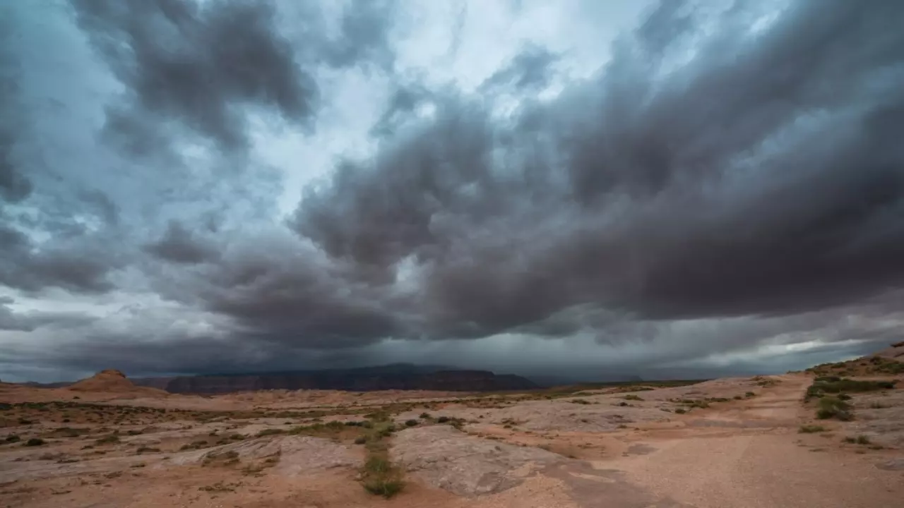
Wednesday: Heavy Rain and Thunderstorms Arrive
Wednesday starts out mild, but by the afternoon, the weather takes a dramatic turn.
-
Rain will develop in the afternoon and intensify quickly.
-
By evening, expect strong thunderstorms, bringing heavy downpours, gusty winds, and possibly even hail.
-
Temperatures will hit the mid-60s before dropping sharply overnight.
This storm will dump a lot of water fast, which could lead to localized flooding, especially in low-lying areas. If you’re out driving, be careful—some roads could flood quickly.
If you’re heading into the mountains, things will look very different. Higher elevations above 7,000 feet could pick up several inches of snow, making travel dangerous.
Thursday: Winter Comes Roaring Back
On Thursday, the warm air disappears, and cold air rushes in.
-
Temperatures will struggle to reach 47 degrees, making it feel like winter again.
-
Rain will continue through much of the day, and as temperatures drop, snow levels will fall below 6,000 feet.
-
Some areas in the mountains could see well over half a foot of fresh snow.
Flooding could also become an issue, with heavy rain and melting snow combining to send water levels rising in rivers and creeks.
If you’re driving in the mountains, be ready for snow-covered roads and possible closures. If you live in a flood-prone area, keep an eye on water levels and be prepared for possible flooding.
Friday & Saturday: The Storm Sticks Around
Just when you think the worst is over, the storm decides to linger a little longer.
-
Friday will bring more rain in the valleys and more snow in the mountains.
-
Highs will barely reach 45 degrees, making it feel damp and chilly all day.
-
Saturday will be slightly warmer, but scattered showers will continue.
By the time this system moves out, mountain areas could be buried in a foot or more of snow, and some places in the valleys could see significant rainfall totals.
How to Prepare
If you haven’t thought about winter weather for a while, now’s the time to start again.
-
If you’re traveling in the mountains, be prepared for full winter conditions.
-
If you live near a river or in a flood-prone area, keep an eye on water levels.
-
Charge your devices—wet, heavy snow could bring down power lines in some areas.
-
Check road conditions before driving. Some roads could be slick, flooded, or completely snow-covered.
What This Means for Salt Lake City
This week will bring a little bit of everything—thunderstorms, heavy rain, snow, and possible flooding. It’s the kind of week where you’ll need to check the weather every single day, because things will be changing fast.


