Hey Charlotte, today’s weather is about to get wild, so don’t let the calm morning fool you! A strong storm system is moving in this afternoon, bringing heavy rain, damaging winds, and even a chance of hail and tornadoes. If you have outdoor plans—change them now.
What’s the Forecast?
Right now, it’s cloudy and 64°F (18°C)—a quiet start, but things are about to turn nasty. As the day heats up, winds will pick up, clouds will thicken, and storms will explode onto the scene later this afternoon.
-
🌡 High: 75°F (24°C)
-
🌡 Low Tonight: 51°F (11°C)
The biggest threats? Powerful winds, large hail, and possibly even a tornado.
Stay Safe: What You Should Do
This storm isn’t one to take lightly. Here’s how to stay ahead of it:
Stay Weather-Aware – Keep an eye on alerts and updates. Storms could develop fast.
Secure Outdoor Items – Lawn chairs, trash bins, trampolines—bring them inside or tie them down before the wind gets crazy.
Head Indoors When Thunder Starts – If you hear it, get inside. Stay away from windows and take shelter in the lowest part of your home if the winds get strong.
Charge Your Devices – Storms like these can knock out power, so make sure your phone is charged and ready just in case.
What’s Next?
Once this stormy mess moves out, the weather will calm down and warm up big time. Here’s what’s ahead:
-
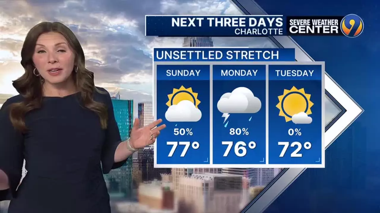
Tuesday (April 1) – Cloudy but calm, cooler and less humid. High 72°F (22°C).
-
Wednesday (April 2) – A quick morning shower, then some sunshine. High 76°F (24°C).
-
Thursday (April 3) – A warmer, humid day with some sun peeking through. High 84°F (29°C).
-
Friday & Saturday (April 4–5) – Get ready to feel the heat! Temperatures could break records, hitting 85–86°F (30°C).
Today is NOT the day to get caught outside. Storms could hit fast and hard, so stay alert, stay inside, and stay safe. By midweek, we’ll be in for some spring warmth—but first, we’ve got to get through today’s rough weather.

