-Advertisement-
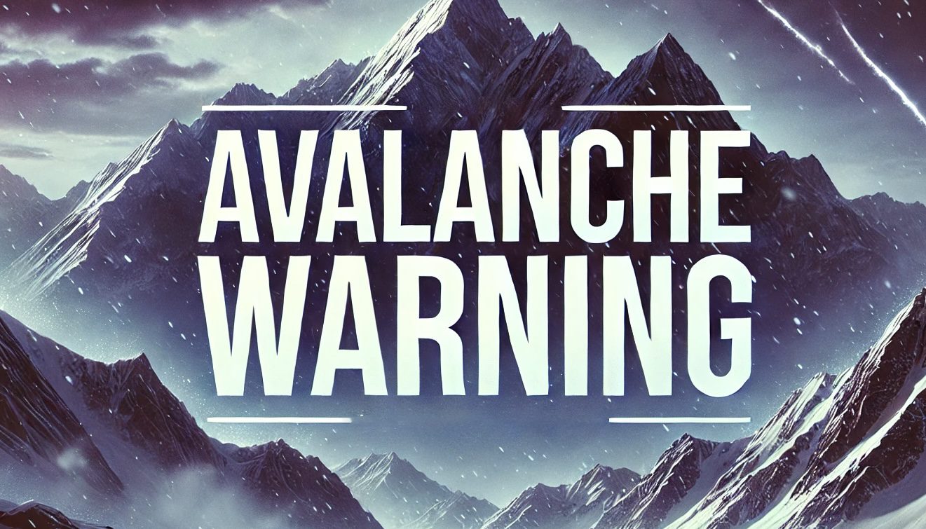
Salt Lake City, UT – An avalanche warning for Utah’s mountain regions has been extended through Tuesday at 6 a.m. due to ongoing snow accumulation and strong winds creating unstable snowpack. The warning covers the Wasatch, Uinta, and Bear River Ranges, where the avalanche risk remains high.
According to the Utah Avalanche Center, both human-triggered and natural avalanches are likely in affected areas, particularly steep slopes. Backcountry travelers are strongly advised to avoid all avalanche-prone terrain and check utahavalanchecenter.org for updated conditions and safety resources.
Heavy snow and strong winds over the past several days have created widespread hazards, with additional snowfall expected into early 2025. Monday’s high in Salt Lake City will reach 37°F with a 30% chance of light snow before 11 a.m., clearing into sunny skies by Tuesday. Lows Monday night will dip to 19°F with light winds.
The forecast for New Year’s Eve shows sunny skies and calm conditions with a high of 34°F and a low of 19°F. However, another storm system could bring snow chances on Wednesday night into Thursday.
Local authorities emphasize preparedness for mountain travel during this time. Drivers heading into canyon roads should monitor conditions and equip their vehicles for winter weather. Hikers, skiers, and climbers should carry proper avalanche safety gear and consider postponing trips.
Stay alert for updates as weather patterns develop through the week.
Be sure to follow us on Instagram & like us on Facebook to stay up-to-date on more relevant news stories and SUPPORT LOCAL INDEPENDENT NEWS!

