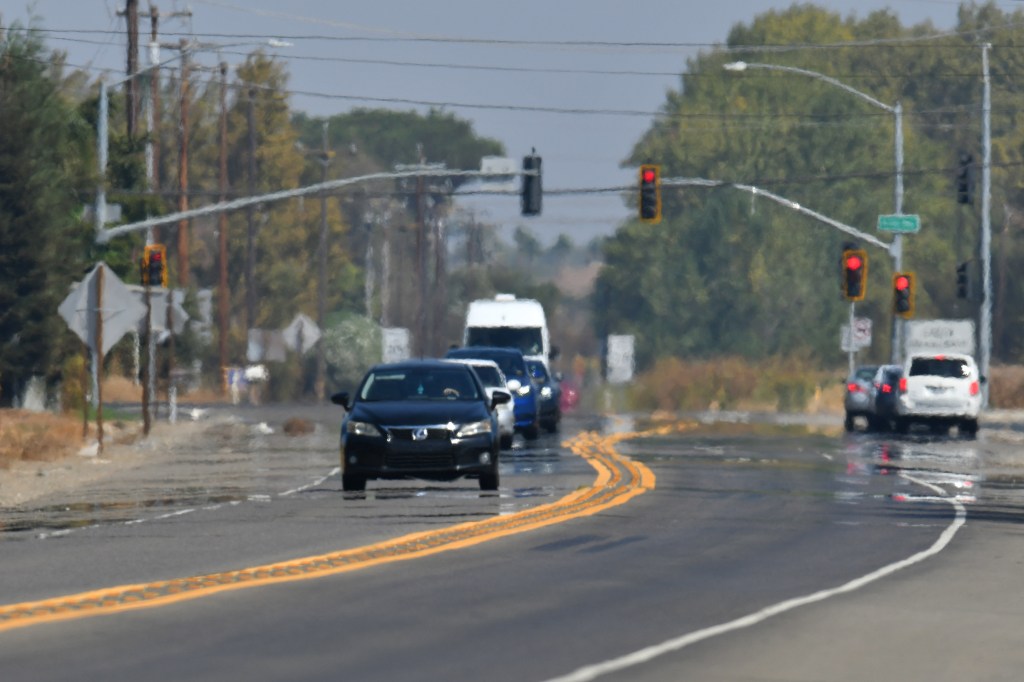
The list of 100-degree temperatures dotting Bay Area cities may not look quite as daunting Friday as it has for much of the work week, according to the National Weather Service. Not that such a reduction signals any great change in an overall heat blast that is still holding strong.
“All of the heat warnings and advisories — they’ve all been extended,” NWS meteorologist Nicole Sarment said. “We’ve got a tiny disturbance (Friday), and the main threat from that will be an increase in winds, and there’s some degree of moisture. But this isn’t over yet.”
An excessive heat warning for the East Bay, South Bay, eastern San Mateo County, the Santa Cruz Mountains and interior Monterey County, originally in place at the start of the week through Wednesday, now runs through 11 p.m. Saturday, as does a heat advisory for San Francisco and other coastal areas. Sarment said the weather service has not ruled out that it also may go through Sunday.
The disturbance Friday — a small area of air pressure that’s not quite as high as the pressure that created a hot-air bubble and produced record heat — is likely to keep the highest temperatures right about 100 degrees or perhaps a degree or two below it, according to the weather service.
Come Saturday and again Sunday, the thermometer is expected to soar past that figure in many parts of the region, just as it has for much of what has been a record-setting week. On Thursday, hot-temperature records fell in San Jose (101 degrees), King City (103) and Salinas (99). The San Jose and Salinas marks surpassed records last reached in 1985, while the King City record broke a mark set in 1980.
“Saturday looks to be the hottest day of the weekend,” Sarment said. “It may go down a couple of degrees Sunday. But it’s going to be in the 100s in the hottest spots both days, and it will be in the 80s and 90s near the water.”
The heat wave — the longest and most intense to start October in more than 40 years — is expected to die out next week, though Sarment said it remains questionable when the bulk of the relief will arrive.
“The trend has been kind of just kicking the can down the road when it comes to that,” Sarment said. “We still need watch and see how a few things in the pattern work out, but we do see relief approaching.”
Sarment said that relief is in the form of a low-pressure trough that has formed in the Alaskan Gulf and that still was developing. It’s influence is expected to bring October temperatures at least down to their averages my the middle of next week, according to the weather service.


