WASHINGTON (7News) — The first winter storm of the year and this winter season arrives tonight with developing snow showers from the west. Plan for snow to last through the day on Monday before ending Monday night.
The National Weather Service has issued a Winter Storm Warning for the entire D.C. and Baltimore metro areas starting Sunday evening through Monday night.
HERE’S THE TIMELINE OF STORM
- Sunday 8 p.m. – midnight: Snow moves in from the west
- Monday 12 a.m. – 10 a.m.: Snow, heavy at times
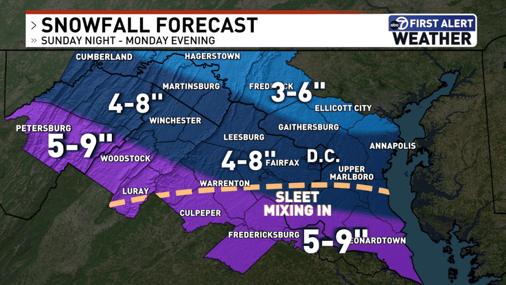
- Monday 10 a.m. – 4 p.m.: Snow ends in some areas, sleet mixing in south of I-66
- Monday 4 p.m. – 10 p.m.: Leftover snow showers on the back side of the low-pressure center
LATEST FORECAST | WATCH RADAR
HOW MUCH SNOW CAN YOU EXPECT?
Skies will be mostly clear through about the first half of Sunday, with clouds increasing after noon. Snow will increase from the south beginning around 10 p.m.
Expect a wide swath of the D.C. metro area to get anywhere from 4 to 8 inches of snow, with locally higher amounts south of I-66, and lighter amounts in central and northern Maryland.
Most of Sunday remains dry but chilly with high temperatures in the middle 30s.
HOW TO PREPARE
The primary hazards of this storm will be the impacts on travel.
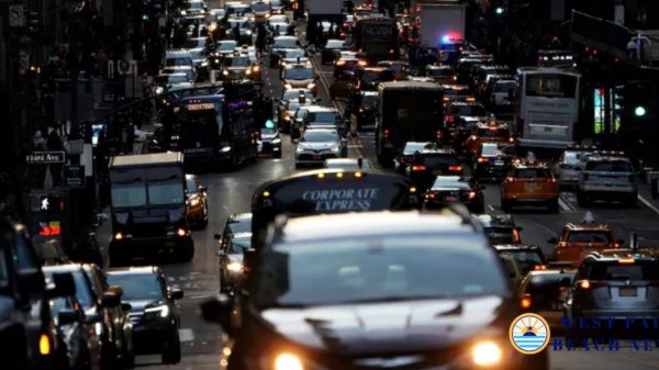
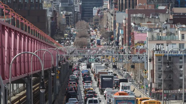
If you must drive, plan for slick roads, especially elevated roads, that will be very dangerous to drive on. Officials are asking that area residents stay home or off the roads.
Flight delays and cancellations are also likely through Monday.
Power outages could also be an issue.
Virginia Gov. Glenn Youngkin issued a state of emergency, while Maryland Gov. Wes Moore issued a state of preparedness.
Sidewalks and driveways could also get slick for those walking outside with pets or to get to Metro.
Amtrak has already canceled some trains based on the forecast.
Refreeze could also be an issue Tuesday morning.

