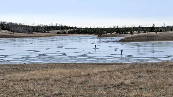
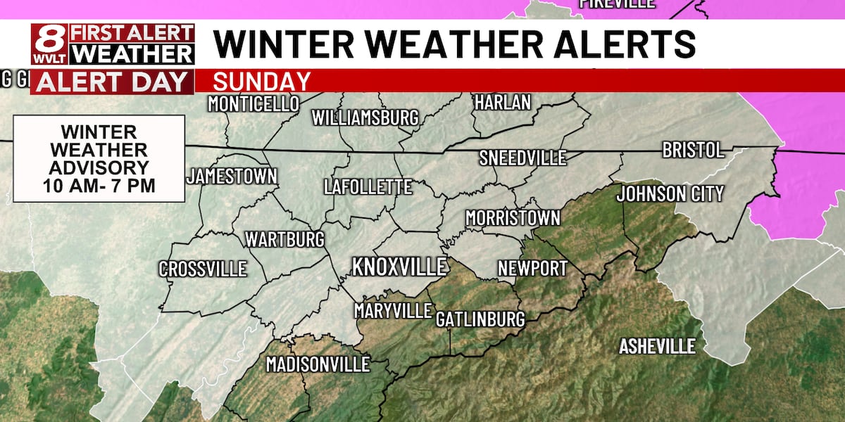
KNOXVILLE, Tenn. (WVLT) – A wintry mix this morning lingers up until mid-day before warmer temperatures move in for the afternoon helping to transition ice into a cold rain. Colder temperatures are here to stay though as we’ll see well below average temperatures for much of the week ahead.
Join us on the WVLT First Alert Weather app for iPhone or Android to stay informed. We share custom videos, and you can receive our messages on the latest conditions and forecasts at home.
WHAT TO EXPECT
Precipitation is moving in this morning, mainly a mix of sleet and freezing rain with a few snowflakes mixing in towards the TN/KY line. Temperatures are close to freezing for many as you are stepping out the door, which could cause icy spots along and north of I-40.
As we move throughout the day, temperatures will gradually warm as we head into the middle 30s. Thankfully we’ll get a break from the precipitation through early afternoon before another round arrives overnight in the form of rain. Highs this afternoon will only reach the middle 30s, but actually continue to warm into the middle 40s by Monday morning.
LOOKING AHEAD
Our front will push through early Monday, dropping temperatures through the day, which will help to transition scattered showers into mountain snow showers for the higher elevations. This will also be the start of a colder stretch as we track two additional WVLT First Alert Weather Days for Wednesday and Thursday.
We’ll be watching for an extended freeze as many areas will be in the lower 30s for much of the week ahead and lows dip back into the teens and lower 20s. We have the latest forecast in your WVLT First Alert 8-Day Planner.
Copyright 2025 WVLT. All rights reserved.

