LINCOLN, Neb. (KOLN) – Our first real winter snow event of the season will bring all kinds of concerns to Nebraska…including the possibility of moderate-to-heavy snow…some light icing…cold temperatures and strong winds leading to some blowing-and-drifting of snow.
Low pressure will track across the Plains over the next 12-to-24 hours…and this dynamic system will bring the potential for moderate-to-heavy snow to parts of southern Nebraska and northern Kansas. Some locations may see 12″ of snow or more…with lighter amounts for areas to the north and west. A tight gradient of snow totals is expected…meaning some spots will be looking at just a couple of inches of snow….while others just a few miles away may see considerably more. Increasing winds of 20-to-35 mph will mean that blowing and drifting snow will also be a concern Saturday night-into-Sunday. Travel is expected to become quite hazardous…if not nearly impossible in some locations…please use caution with any travel plans through the day on Sunday.
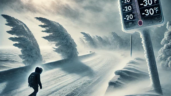
Cold air is accompanying this major winter storm system…and will likely linger in the area long after the snow has ended. Bitterly cold wind chill numbers are expected during the morning hours into early next week. Here’s a look at expected temperatures over the coming days…
The 7-Day Outlook calls for the snow to end on Sunday…but the cold will remain, with the coldest air of the season lingering into midweek. Small snow chances with a bit of a moderation in temperatures expected later in the week.
The latest 8-to-14 Day Outlooks call for a slightly-better-than-average chance for ABOVENORMAL readings…and slightly-better-than-average chances for BELOW NORMAL moisture in eastern Nebraska…from January 12th thru the 18th.
Click here to subscribe to our 10/11 NOW daily digest and breaking news alerts delivered straight to your email inbox.
Copyright 2025 KOLN. All rights reserved.

